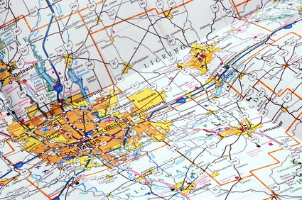
Calculating the mileage between two locations requires knowing how to use a map's scale. All maps, if they are properly made, contain a key that shows you the scale of the map. A key might, for instance, show you that 1 inch on the map is equal to 5 miles of distance in the area represented. Calculating the mileage between two locations on the map becomes a matter of measuring the distance, in inches, between the two locations on the map. Then that distance can be converted from inches to miles with a simple calculation.
Locate the scale of the map you are studying. It will usually be somewhere along the edge of the map. It will be a straight line with something written next to it, such as "1 inch = 5 miles." That scale will serve as an example in the steps that follow.
Use your ruler to measure the distance, in inches, between the two locations you have chosen on the map. For example, imagine that the distance between points A and B on the map is 6.25 inches.
Multiply the number of inches by the scale of the map. In the example, 1 inch on the map is equal to 5 miles, so:
The mileage between points A and B = 6.25 inches x 5 miles/inch = 31.25 miles